MapInfo and Discover provides a number of different Reprojection Utilities, depending on the type of data to be transformed. Each of these tools will create a copy of the data in the specified output projection, typically with a default _reproject suffix added to the input file name. These tools are invaluable (for example) for ensuring all datasets are in the same Coordinate Reference System (projection).
Note: After reprojecting when you open in back in the map window, it will appear in exact same location. This is due to Mapinfo being a GIS system that reprojects on the fly. It will only appear in a different location when opened in a non-GIS program.
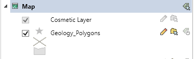
Vector data (i.e. points/polylines/polygons)
This is shown in the layer control with an icon -
There a numerous ways to reproject these -
1. Standard MapInfo way is to go to Home>Save>Save Copy As. Then on the save dialog, click the projection button and choose the new projection.
2. Use the Discover>Reproject>Reproject Coordinates. This uses the Discover projection engine with explicit NTv2 support. (note this doesn't support NativeX tab files).
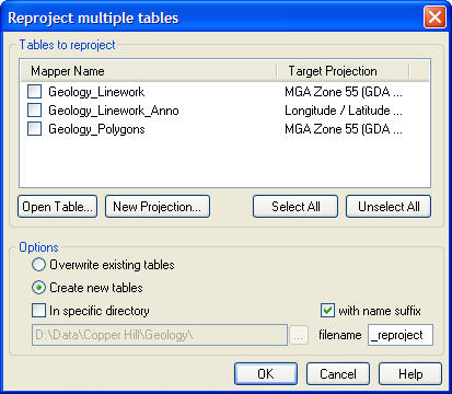
3. Use the DISCOVER > Reproject > Multi-Table Reproject tool. This allows the current projections of multiple vector tables to be displayed and reprojected, either as new tables, or overwriting the existing tables.
Note with all of these methods only change the spatial vector data in the map. They do not update any coordinates in the browser table for say points. There is no link between these and they need to updated seperately using Discover>Update Coordinates.
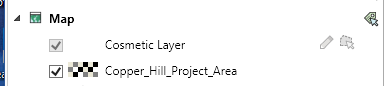
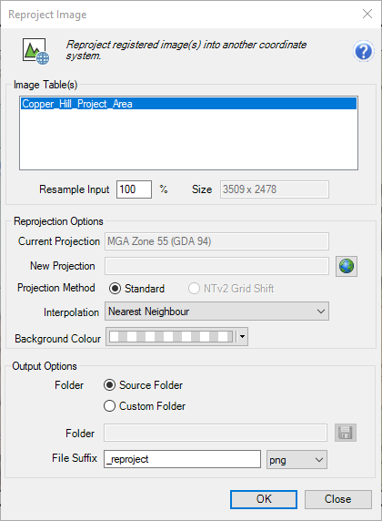
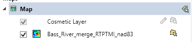
Raster Images (e.g. aerial or satellite photography, scanned images from open file reports)
This is shown in the layer control with an icon -
Use the IMAGES> Reproject Image tool. This uses the Discover projection engine with explicit NTv2 support.
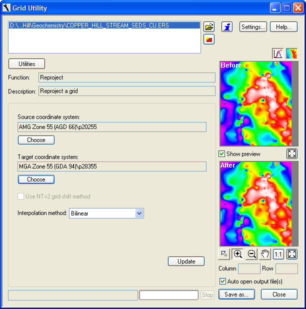
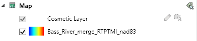
Gridded Surfaces (e.g. DEM/topographic grids, geochemical and geophysical surfaces)
This is shown in the layer control with an icon -
Or if opened as a Raster Image -
Use the new RASTER>Raster Operations>Reproject
Or use the legacy SURFACES> Utilities >Reproject. This uses the Discover projection engine with explicit NTv2 support.